
 Español

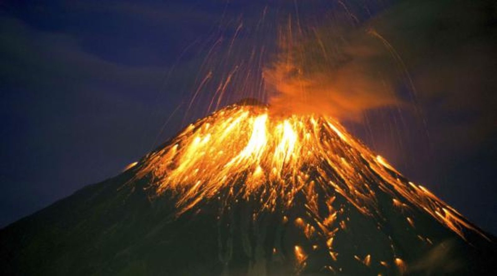
Tungurahua Volcano After the Eruptive Period: How the Landscape Changed
The Volcán Tungurahua was one of the most active volcanoes in South America for nearly two decades. Its eruptive period, especially between 1999 and 2016, deeply transformed not only the surrounding environment but also the social and tourism dynamics of the region.
Located next to Baños de Agua Santa, the volcano became a defining element of the area’s identity.
1. Before the major eruptions
Before its reactivation in 1999, the slopes of Tungurahua were largely agricultural, with green vegetation and rural communities living nearby. Although the volcano had a historical record of activity, many residents had not experienced significant eruptions in their lifetime.
Baños was already known for its hot springs and natural scenery, but the volcano was not yet the central attraction it would later become.
2. Reactivation and visible impacts
When Tungurahua reawakened, ash emissions, pyroclastic flows, and explosions reshaped parts of the terrain. Certain areas were covered with volcanic material, altering roads, farmland, and riverbeds.
The most visible landscape changes included:
-
New rocky formations
-
Areas covered with solidified ash
-
Vegetation temporarily damaged or destroyed
-
Darker, more dramatic tones across the slopes
The once predominantly green environment gained a raw and powerful volcanic character.
3. The transformation of tourism in Baños
Rather than discouraging visitors, volcanic activity attracted global attention. Baños de Agua Santa evolved into a destination where travelers hoped to witness glowing lava, ash columns, or nighttime eruptions.
During this period, the region developed:
-
Strategic viewpoints
-
Night observation tours
-
Strong positioning as Ecuador’s adventure capital
The volcano shifted from being seen only as a natural threat to becoming a symbol of resilience and attraction.
4. Natural regeneration
After major eruptive activity decreased around 2016, ecological recovery began. Vegetation gradually returned to previously affected areas, demonstrating the resilience of Andean ecosystems.
Today, the landscape shows a striking combination of:
-
Visible volcanic scars
-
Renewed plant life
-
A more stable environment for tourism activities
5. A landscape shaped by geological memory
Tungurahua permanently marked the geography and collective memory of the region. The volcanic traces remain part of the scenery, offering visitors a tangible reminder of the Earth’s dynamic forces.
Exploring the area today means witnessing a territory that has been transformed, reshaped, and renewed by volcanic energy.
Conclusion
The Volcán Tungurahua not only altered the physical landscape of central Ecuador but also redefined the tourism identity of Baños de Agua Santa.
What once appeared as destruction ultimately became part of a unique and powerful landscape — one that tells a story of transformation, resilience, and natural force in the heart of the Andes.